
Getting To Audio Authority
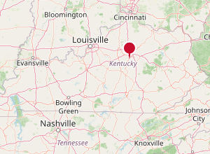
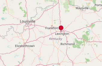
International airports are available in Louisville, KY and Cincinnati, OH. Directions from these cities are provided below.
Lexington, KY is located at latitude 38°06′21″ N, longitude 84°29′55″ W.
Climate
Annual precipitation is 45.68 inches. The mean average temperature in Lexington is 54.9°F. Lexington and the Bluegrass have four distinct seasons that include cool plateau breezes, moderate nights in the summer, and no prolonged periods of heat, cold, rain, wind, or snow.
Current Weather
Check current conditions and the forecast for Lexington, KY from the National Weather Service.
Find Us
Get driving directions to 2048 Mercer Road, Lexington, KY 40511
Driving Directions
- From the Louisville, KY Airport
- From the Cincinnati/Northern Kentucky Intl Airport
- From the Lexington, KY Airport
General Directions Within Fayette County
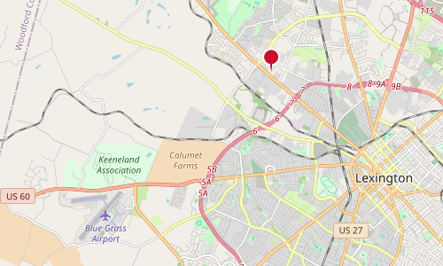
Coming into Lexington, take New Circle (4) to the North West side of town looking for Leestown Road.
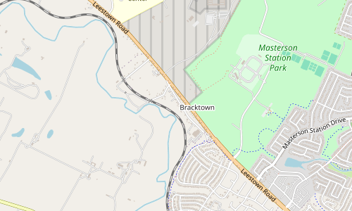
As you come North West, look for the Leestown Road exit.
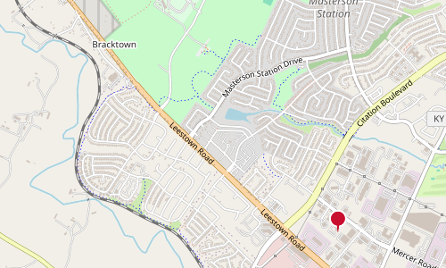
Exit on Leestown away from town (exit right and turn right if heading West; exit right and turn left under the overpass if heading North East).
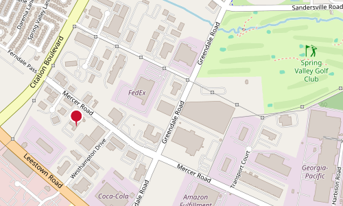
The second light is Greendale and the next street is Westhampton – turn right at either intersection.
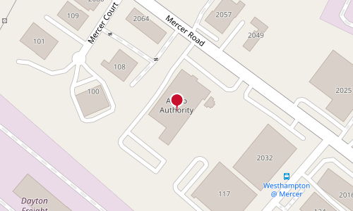
From Greendale or Westhampton: turn left at the first stop. Audio Authority® is down and on the left-hand side. Shipping and receiving docks are in the back.
Map data © OpenStreetMap contributors.